Welcome
Since 2020 farmers around Wisconsin have shared cover crop practices and samples to help create a shareable database of real world cover crop results. Click the map or graph images to explore the data, or the scenario tool to see farms grouped by their cover cropping goals.
Cover crop scenarios
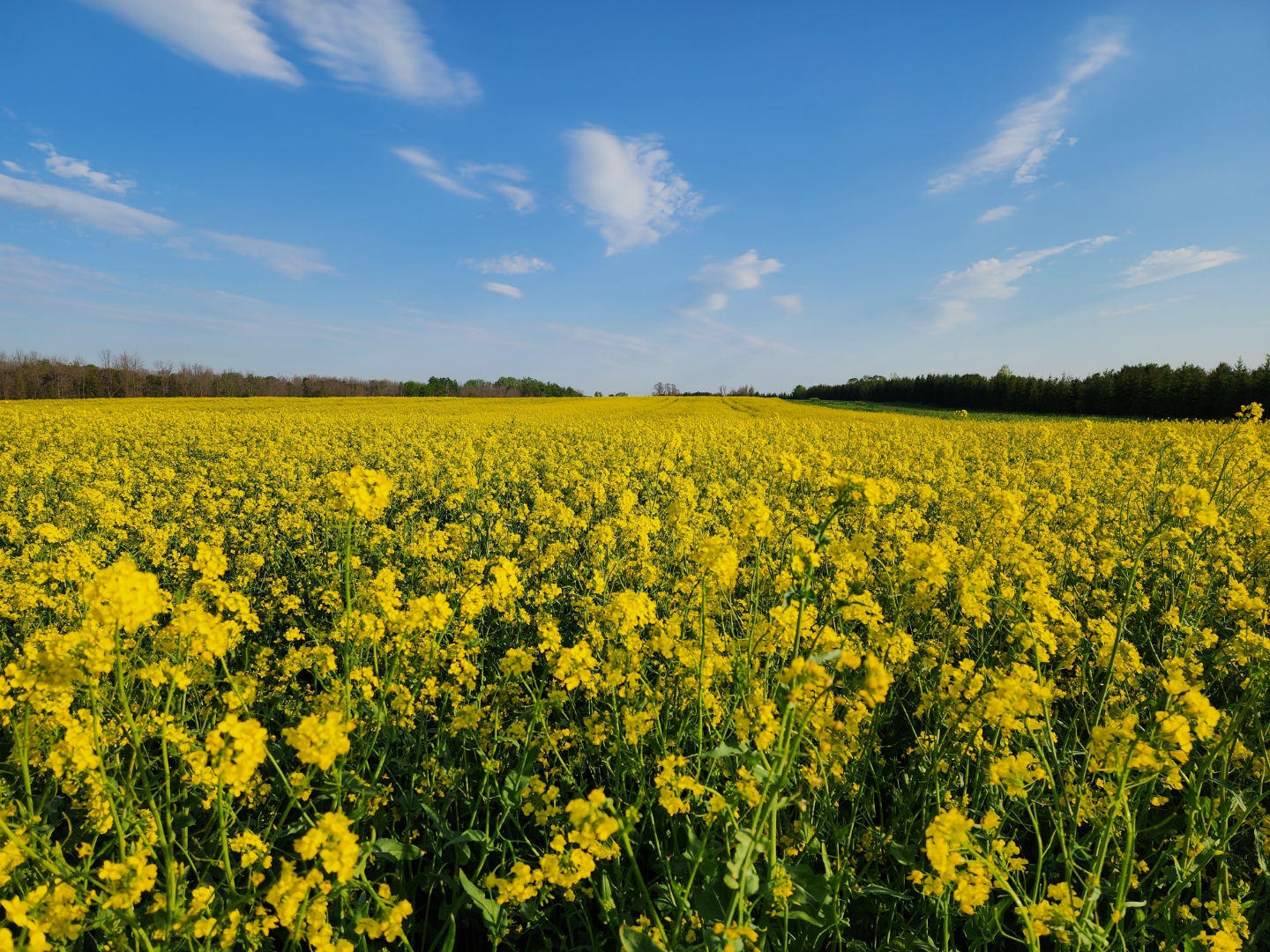
On-farm data by farmers, for farmers. Explore how cover crops are being used by farmers around Wisconsin.
Go to the scenarios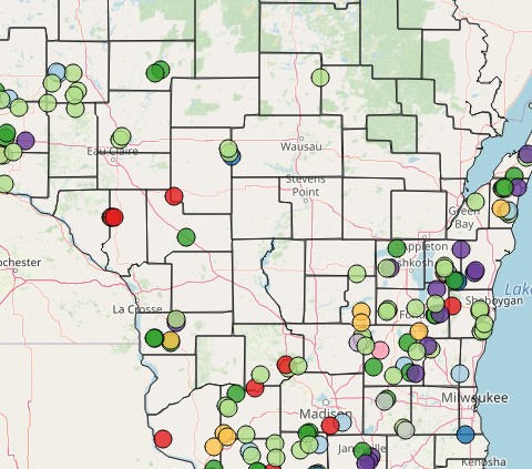
Map of participating citizen science farmers
Do you see your dot? Click each location for more information on cover cropping practices.
Go to the map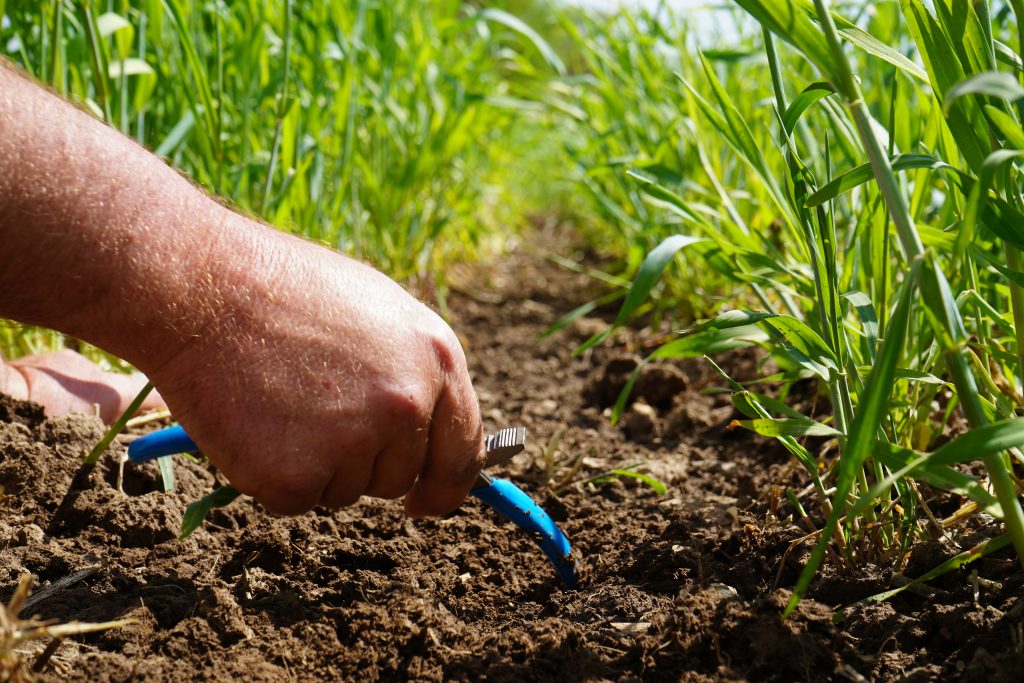
Survey for 2025
Registration is closed for the 2025-6 season. If you are interested in participating in the project or learning more about the project, please click below.
Interested?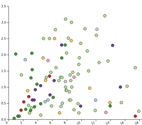
Interested in the database generated by this project? Please email Mrill Ingram regarding our data sharing agreement. If you have already been approved as a researcher click here .
The Michael Fields Agricultural Institute's Wisconsin Cover Crop Data Network is a partnership with UW-Madison's NPM Program, The Nature Conservancy, the USDA Dairy Forage Research Center, and UW-Madison's WICST project. We are grateful to our collaborating Wisconsin farmers and to our Soil Health Alliance for Research and Engagement (SHARE) project partners.